Project Overview
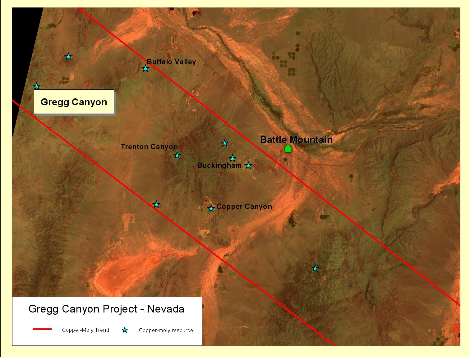
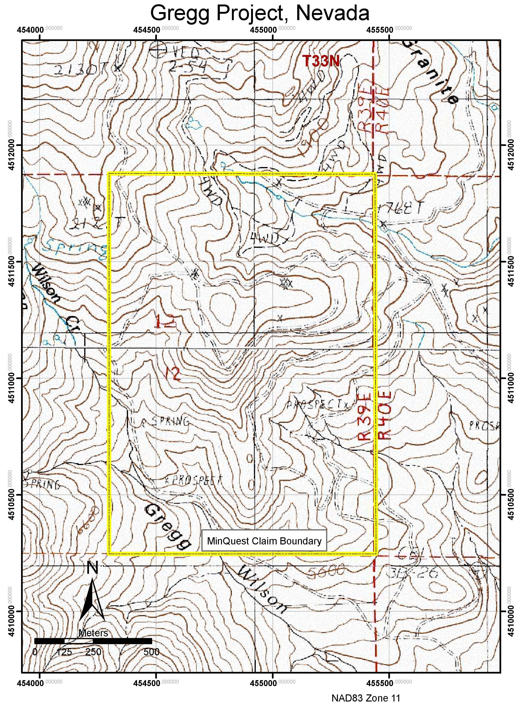
The Gregg Canyon Project is located in Humboldt County, Nevada. There are 22 claims (440 acres) covering a zone of multiple breccia pipes, skarn, and jasperoid. The project spans a distance of 2000 meters in diameter and the mineralization extends on to private land in the northern direction.
Area Geology
A large footprint of alteration extends over an area of 16 square miles and affects the Paleozoic limestone, chert, shale, Laramide granite, Tertiary volcanics, and porphyry dikes. Alteration includes the areas of skarn, quartz-sericite-pyrite alteration of intrusive and extrusive rocks, late stage quartz veining, and jasperiodal replacement of sediment.
Exploration
The district wide magnetic and geochemical stream surveys Cordero completed in 1966 identified a large copper-moly anomaly associated with a magnetic anomaly. An exploration program in 1967-69 included mapping, 125 shallow AirTrack holes, and 7 deep core holes. Furthermore, Amax drilled an additional 3 core holes from 1972-73.
This work identified a near-surface copper oxide cap with a molybdenum-copper resource at depth. The near surface copper oxide cap has potential for 50 million tons grading 0.3% copper. The deeper molybdenum-copper resource, defined by 9 wide spaced holes, suggests approximately 80 million tons grading 0.08% moly and 0.05% copper.
The additional breccia pipe targets grading up to 2% copper at surface remain untested. In 1998, North Mining confirmed the existence of a significant alteration footprint with associated gold and silver mineralization. No testing of these anomalies has occurred. The potential for a cluster of mineralized porphyries and the associated peripheral base, as well as additional precious metal mineralization should be considered for this area.
j